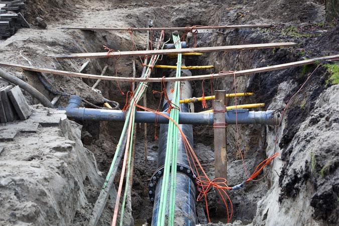
Buried Services
Using a variety of methods we can produce a buried services plan to inform you where and what is located on your site to conform to PAS128 standards. Whilst it is never possible to know exactly what is under the ground, although i am sure people will tell you otherwise, we can use various methods to give you the most comprehensive view possible. A standard sequence of events would be;
- Desktop study, request all information from major service providers.
- Site Investigation, utilising Radio and Power detection methods as well as lifting and tracing drainage/storm/foul services.
- Further Site Investigation using Ground Penetrating Radar to pinpoint services.
- Trial holes to give survey points on services.
The above can be presented in one 3D model to provide an overview of the site. As mentioned above it is almost impossible to locate everything, but using the above methodology we can help you get the best view of what is under the ground on your site.
For further information please use the contact us tab at the top of the page.
